In early 1916, German engineers excavated two deep parallel cuts into the side of the Kanal Koffer, the high canal bank near Hollebeke. I have asked a few distinguished historian photograph analysts what these may be but nobody could offer any insight.
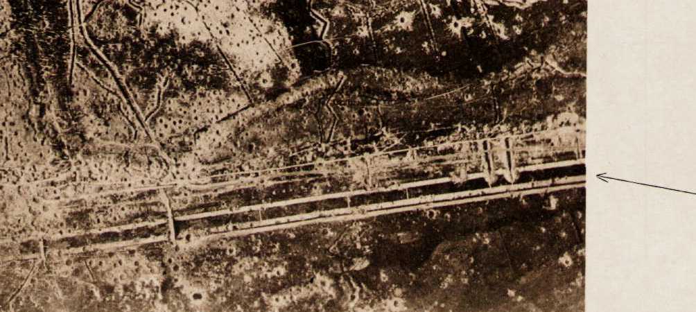
Across the centre of this photograph runs the empty canal. The horse bridge and pedestrian bridge can be seen to the left by the ‘Triangular Bluff’. Lock 6b is just out of shot to the right. Examining the earthworks, they begin in the canal bed itself. The lower Knüppeldamm (log road) runs over bridges just past the mid-point. Digging stops at the upper Knüppeldamm. If these are entrances to a tunnel system, they would be screened from aerial observation, and not begin in the canal bottom as they would be accessed from the walkway. If it is a drain of some sort, why make two? The only answer that makes any sense is that this is a defensive fortification. The planners may have conjectured that any attempt to take this position would be a movement to roll up the German line by advancing along the canal. This is in fact what happened in June 1917 and this construction was briefly part of the front line from 7th to 14th June.
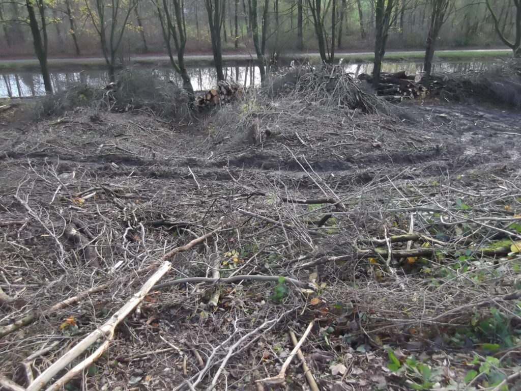
Unfortunately these mounds and trenches were damaged in November 2015 by a caterpillar digger used for hauling trees that were being harvested. In this photo you can see two of the mounds with one of the valleys or trenches between. These are still clear to see from the canal side especially in winter.