The history of The Bluff is best told in a series of dull books by an obscure local historian*), but here we can look at snapshots of the effects of two years of war on this triangular heap of canal diggings.
In 1914, the Germans spent the first week of November pushing a mixed force of dismounted French cavalrymen and cyclists from the canal at Hollebeke up and over Palingbeekstraat. At the canal edge, the Germans of IR 136 reached the far side of a fir tree woods next to the fallen St Elooi bridge and found themselves facing an elevated position that could not be outflanked and that was simply beyond their powers to capture in the fading light and plunging temperature of autumn.
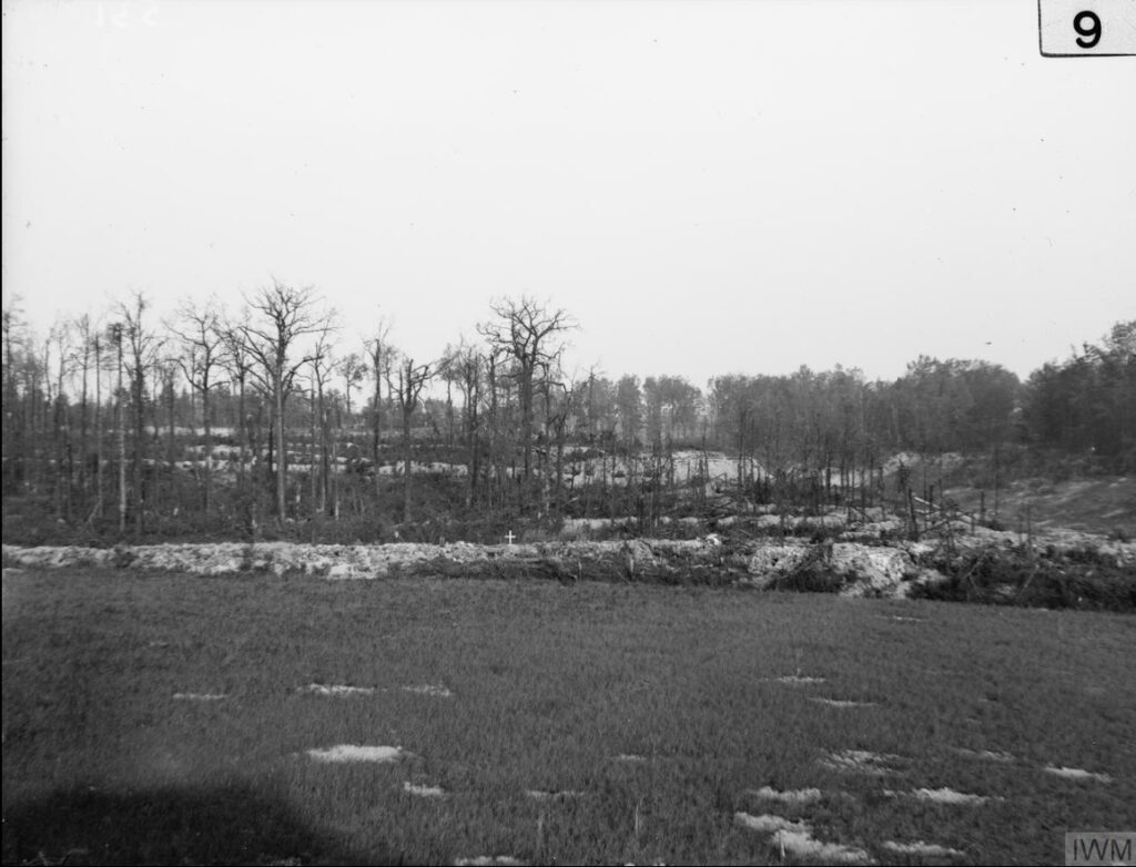
This photograph, looking straight at the German lines from The Bluff with the canal on the right hand side, shows that what is not woodland was a flat green field in 1914. The sandsack walls of the German front line show white in the foreground with their second and third lines in the receding distance.
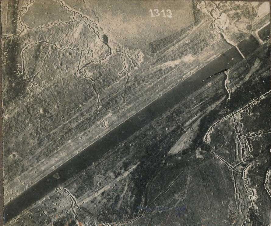
From the 1915 photo on the left to that of 1917 on the right, it can be seen that The Bluff was reshaped at considerable cost from a hillock next to a flat field into the pumice stone craterscape.
Looking closely at the photograph on the left, the crater of the first ever mine explosion can be seen, trenched and sandbagged by the British. This meant one thing for certain: the Germans had been underneath, and they were still there. This was the crater of 15th October 1915 which was completely obliterated by a larger explosion on the same spot on 16th December. After a relatively peaceful year, The Bluff became a poisoned chalice for both sides in 1916.
Before we leave this place, there is room for one detail too small to put in a book but too good to leave out. Around 1911-12, while the hamlet of Bernicks Walle by the bridge was beginning to fall in the canal, somebody erected a smart villa with a lovely view along the deep canal trench, and over to the park of the White Chateau of the Cavrois family. Right in the shadow of the corner of The Bluff.

Here it is in 1913 as indicated by the arrow and below, the villa in 1915 as the backdrop for a British military cameraman on The Bluff making a set of panorama photos.

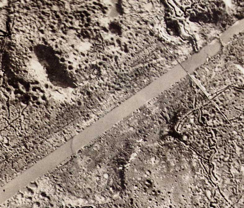
Sadly their house had been erected just where two empires would grind to a halt and face each other for two years. In fact the wreckage of the villa can be picked out in the aerial photo above left, between the October 1915 crater and the canal. The White Chateau can still be seen beyond the trees.
