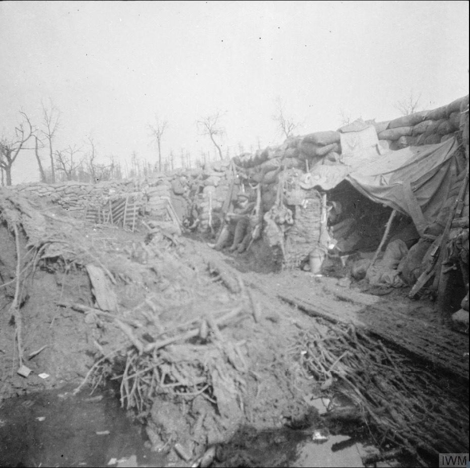
At the edge of the ridge a small stream, the Klijtgatbeek, had carved a shallow valley perpendicular to the front lines. This meant it had no military value to either side, but could be problematic in periods of heavy rain. Having fought their way to this point in November 1914, the Germans had inadvertently built their sandbag wall on the source of the stream, and were puzzled by intense flooding problems. Their solution was to pump the water towards the British lines, which was a bit pointless as this was where the blocked water would normally flow in any case.
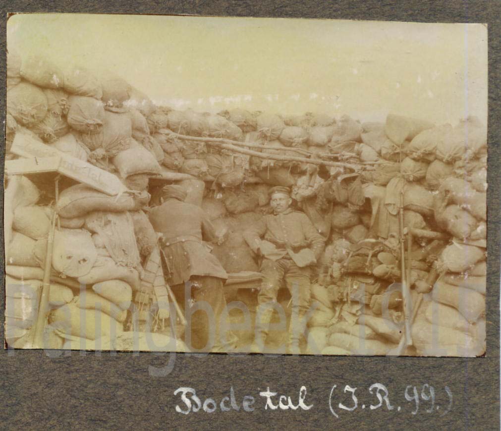
‘Bodetal‘ was the name given to the Klijtgatbeek valley by the Germans after their Oberstleutnant Bode. To the British this was ‘The Ravine’. These two photographs are both of early 1915, and these positions are about 50 metres apart. The stream can be seen under the bridging-raft of branches.