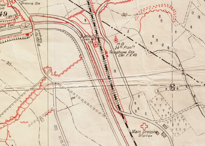
The higher officers of the regiment needed a solid roof over their heads while they put their plans into action. For the Palingbeek sector (named ‘Ulrich-Viktor‘ by the Germans) local control was exercised from a pair of bunkers by the railway line, on the gone-away road by the canal bend.
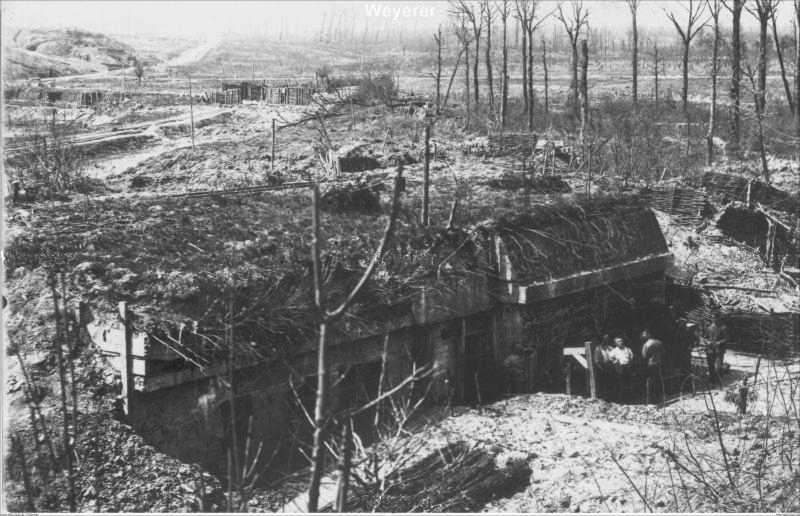
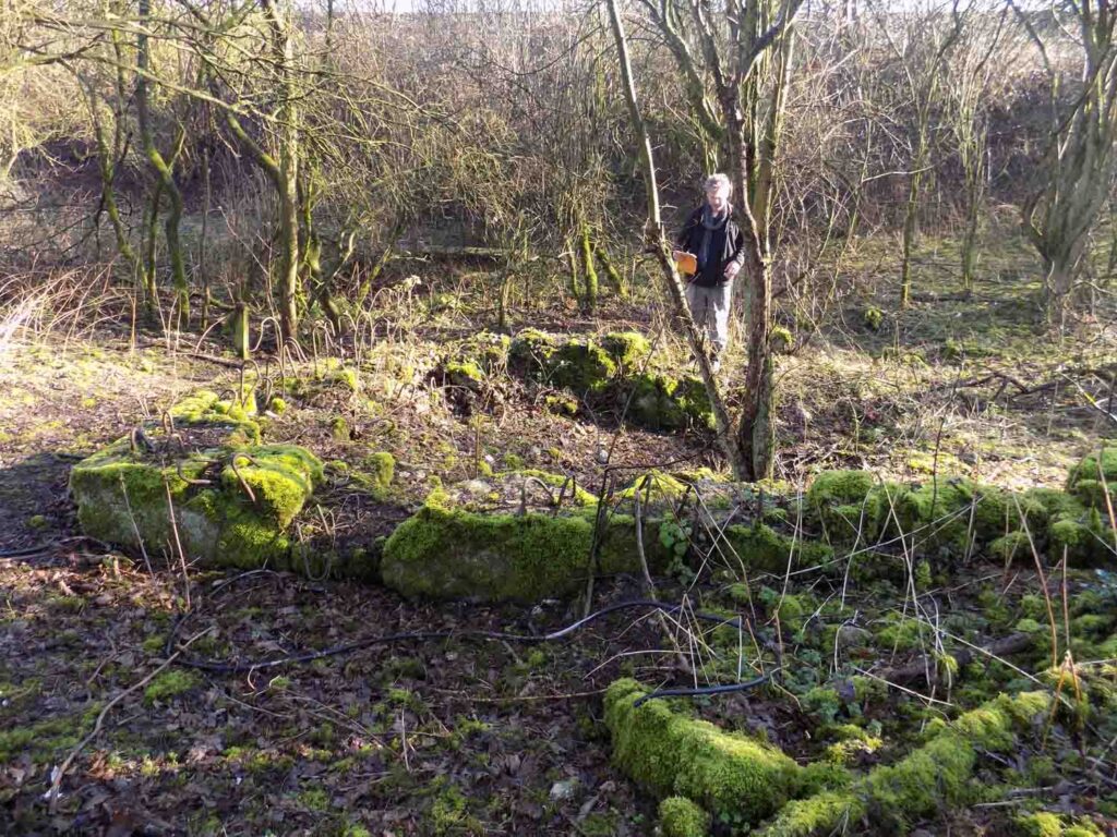
Very little remains of what were a pair of large and attractive buildings. Their position was known to Allied artillery in 1916 due to the capture of a detailed 1:5000 German map (extract above), so this position would have been heavily shelled before the attack of 7th June 1917. At this point, these buildings ended up in a temporary no-man’s land after 14th June which would not have improved their condition. Recapture and re- recapture by the Allies in 1918 would not have helped either. The remains of today, being under knee height, suggest that the rubble was taken away and used for other purposes, in the railway embankment or for road laying.

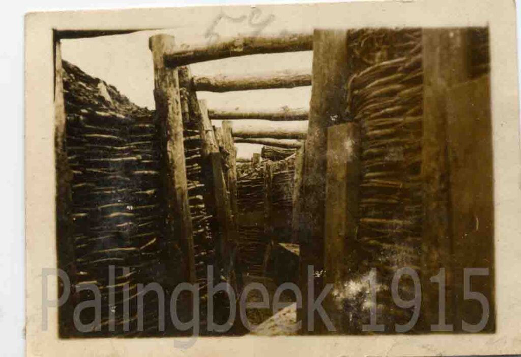
The IWM photo is taken facing south, in the direction of Hollebeke, the canal and road invisible in the greenery. In the foreground, the woven branches lining the walls of the railway underpass.