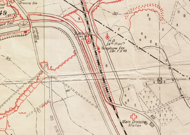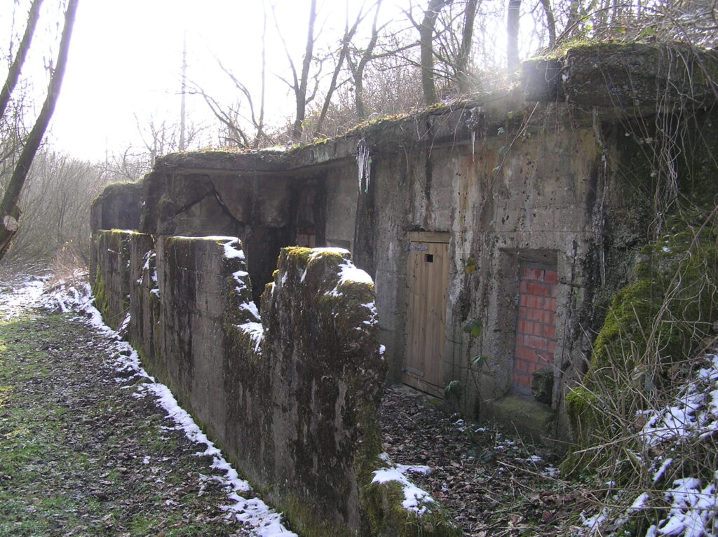
The building here indicated as headquarters of a telephone company was in fact the Feldartillerie command post. This building came to be called Gefechtstand Zimmerle, after artillery officer Major Edouard Zimmerle of Feld Artillerie Regiment 49. Here you would find him in the first half of 1916, in his “sehr günstig zentral gelegen” Unterstand.
It was built in the early months of 1916 and is of unusual design, with a thin blast wall across the exposed side. What is more remarkable is that this building survived the actions of 1917 when the German front line was driven back to the edges of Kortewilde. Nominally in British hands, the exposed side now faced the Germans and it would have been the work of minutes to reduce this to rubble. It also survived the post war actions which removed all but a handful of the neighbouring concrete buildings that lined this, the safer side of the railway embankment. The building is now closed up as a bat cave after metal detectorists dug out a substantial part of the floor a few years ago.
A walkway and subway through the railway embankment connected the officers of the artillery regiment with the headquarters of the infantry regiment of their division. Or leave the Zimmerle building and turn right to visit next door.
As confusingly referred to on the map, the Fernsprecherunterstand was just south of Gefechtstand Zimmerle. Few traces of this substantial building remain.
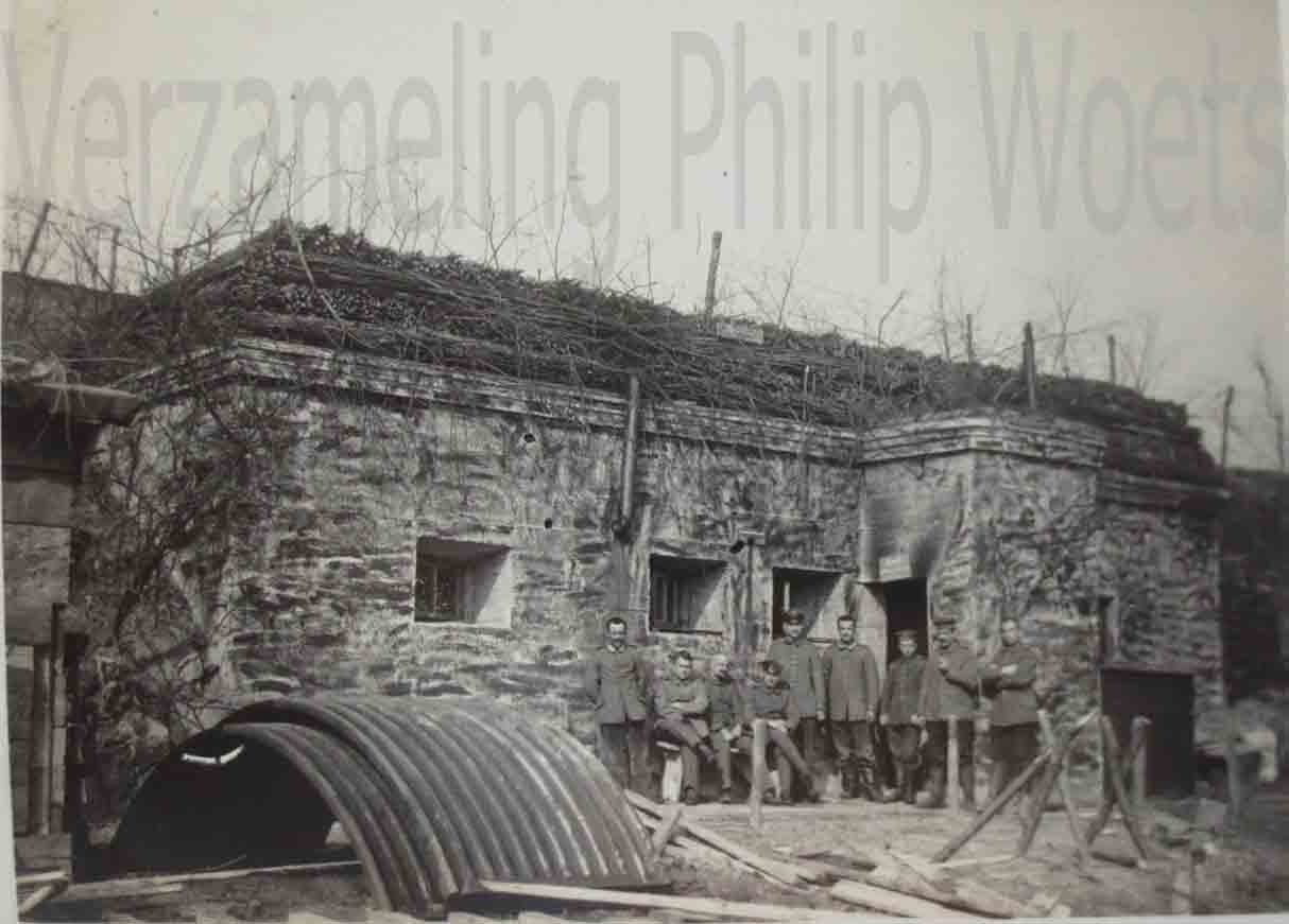
Right: Kantine
A few steps further, between the telephone exchange and the (photo as yet not found) building of the Pioniere, there was a small building important in the life of the soldier, the Kantine.
While on a page with this map, it is worth a glance down the road to Drei Häuser, three houses that were out of sight of British artillery observers and which survived intact until mid-1917.


